Also known as “The Horseback”, it became a critical connection to the railroad in Pittsfield for Hartland businesses & residents.
*
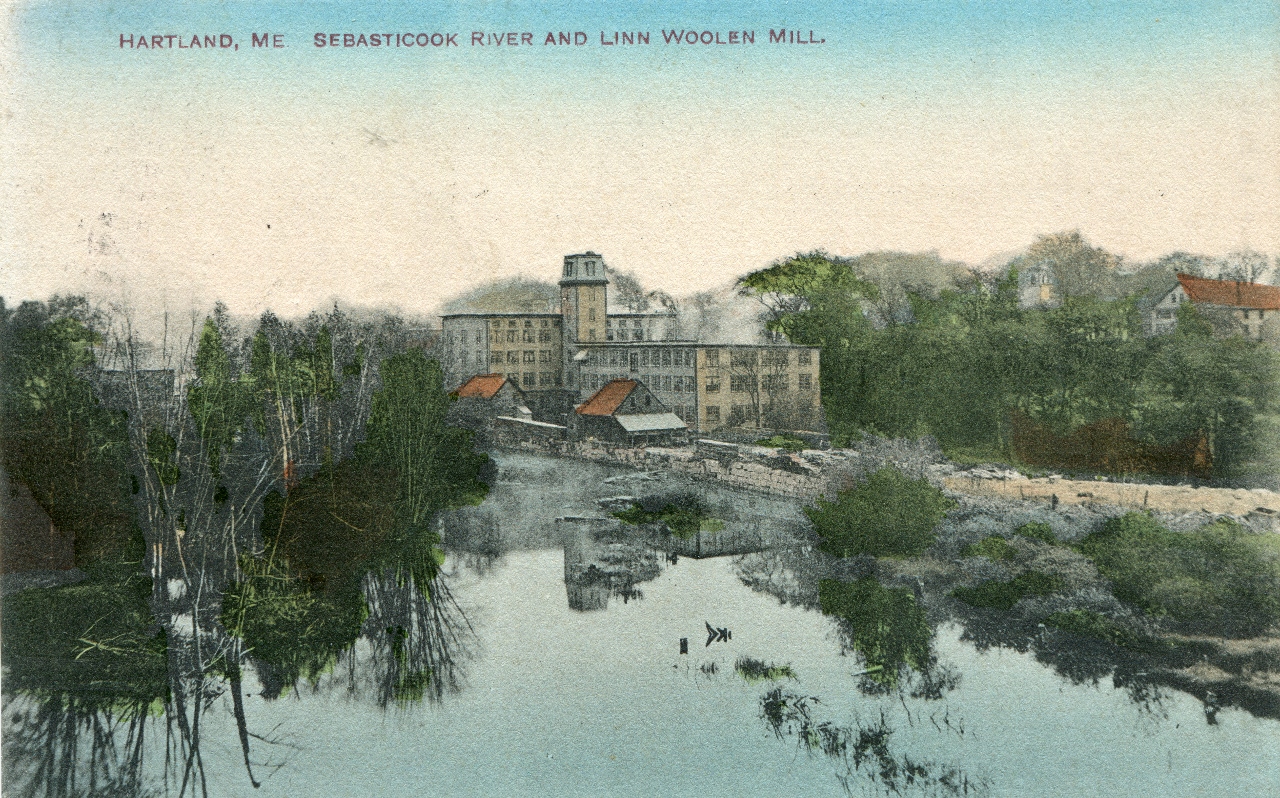
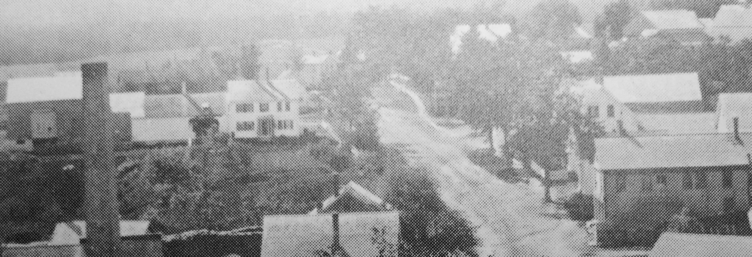
Linn Woolen Mills from Pittsfield Avenue
*
Currently, no maps of Hartland detailing the locations of homes, businesses and merchants before 1860 have been discovered. Various documents provide us with enough information to know many existed in its early years of settlement, but most of the specific details of when they were built or by whom remain unknown. The following is based on our best interpretation of known maps, town records, census data, historical book references, photos, artifacts and family genealogical information. Updates will be made as new information is discovered.
*
The 1912 Somerset County Register notes early settler William Moor’s original lot ran about a mile along both sides of the Sebasticook River from the center of the future Village encompassing much of the eventual Pittsfield Avenue route. Moor’s entire lot was originally part of St. Albans when he first purchased it in 1797 later settling on what would become Commercial Street in 1802.
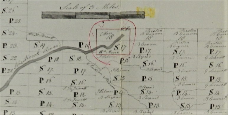
William Moor Lot S-17 from St. Albans Surveyors Map – 1798
*
Pittsfield Avenue’s roughly 4 mile route takes an unusual course as it travels from Hartland then crosses into Palmyra, then crosses back into Hartland before straddling the two town lines for a 1/2 mile or so before returning back to Palmyra to its destination at Ell Hill where it becomes Hartland Avenue into Pittsfield. Although it probably wasn’t intentional during the early town line changes before any houses existed, the unique route remains the same today and has been an occasional headache for the folks who eventually built homes in the first small Palmyra section pertaining to which town was responsible for taxes, providing public services and even which school district to attend.
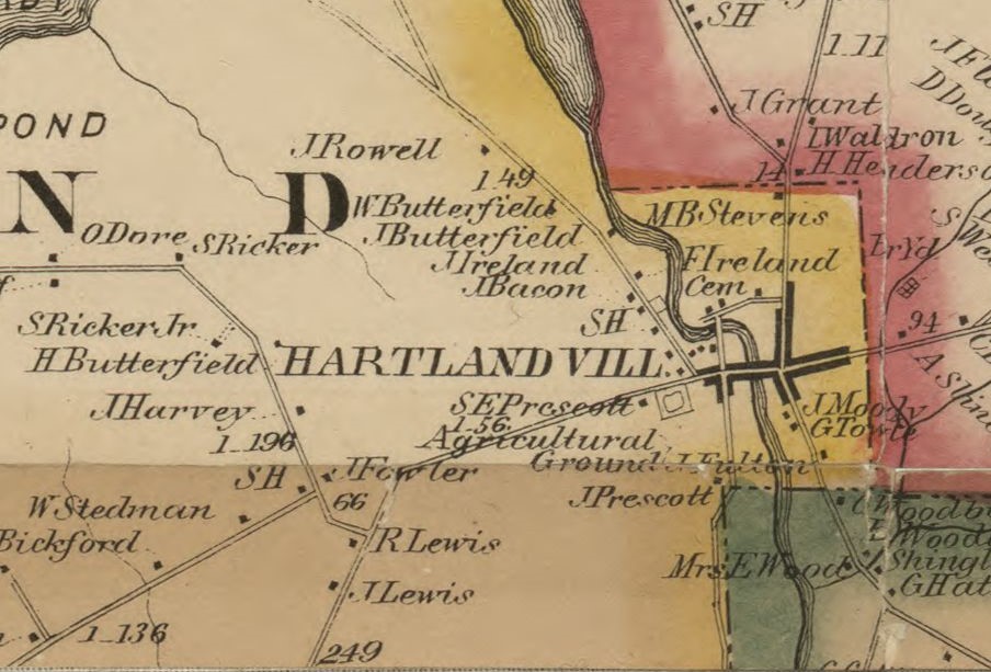
Hartland – 1860 Map
*
Only a handful of homes existed along Pittsfield Avenue by 1860 but with the railroad arriving to Pittsfield in the 1850s, the route was about to become a heavily traveled lifeline for Hartland whose industries would depend on the railroad connection for shipping and receiving products as well as passenger travel.
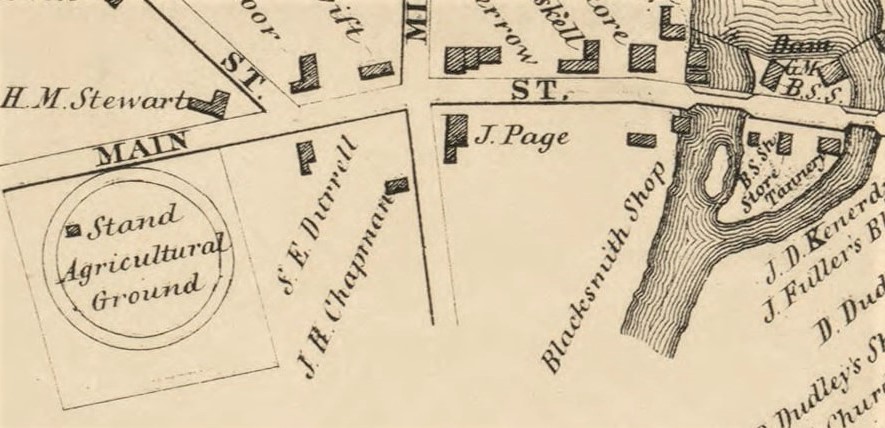
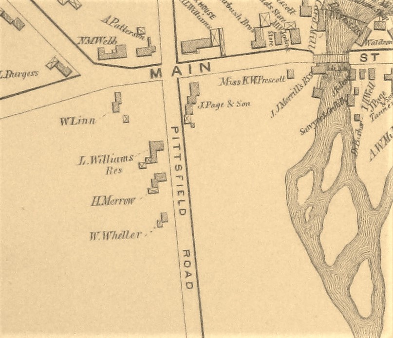
Pittsfield Avenue – 1860 Hartland Village Map
*
John Page Residence at corner of Main Street & Pittsfield Avenue – c1877
*
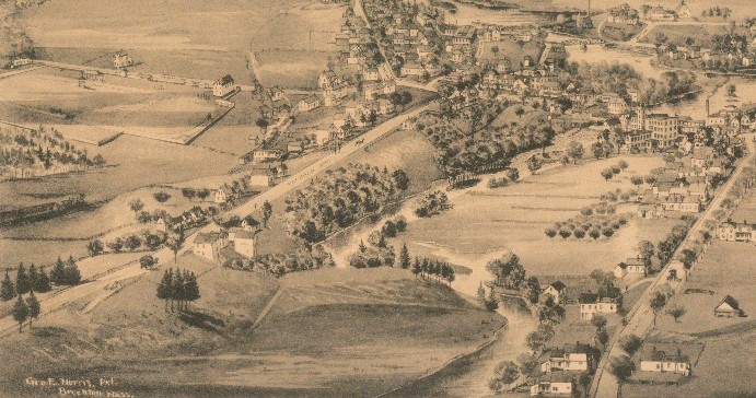
(L-R) Wheller, Merrow & Williams Homesteads on Pittsfield Avenue seen across Warren Square and the Sebasticook River.
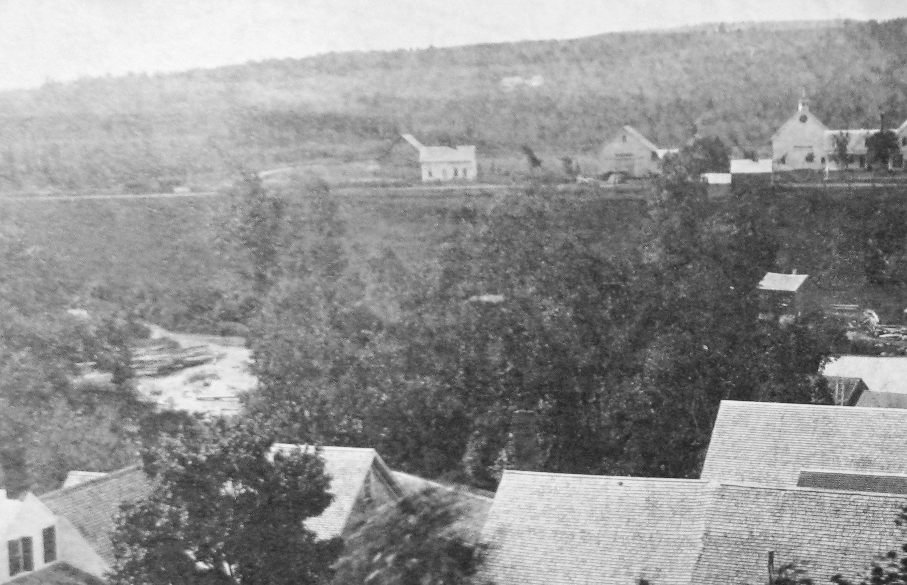
Pittsfield Avenue from Baptist Church Steeple – c1877
*
Williams, Merrow & Wheller Homesteads on Pittsfield Avenue.
Pittsfield Avenue – 1883 Hartland Village Map
*
Along with the 3 houses above, several more homes were built further down Pittsfield Avenue heading to West Hartland by 1883.
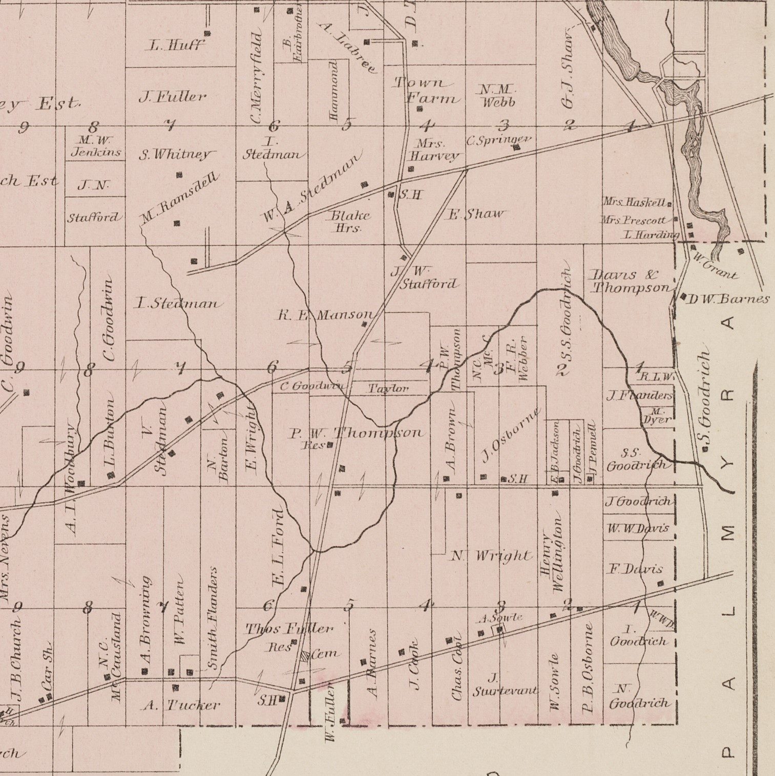
Pittsfield Avenue – 1883 Hartland Map
*
The newly formed Sebasticook & Moosehead Railroad in Hartland had a figurative mountain of legal and financial obstacles to overcome, however once resolved the actual construction of their new line would be a relatively easy task. In part because there were literally no mountains to impede the path. The route chosen along Pittsfield Avenue from the Maine Central Railroad terminal in Pittsfield was fairly flat, contained a sandy base and only had 1 minor water crossing at Meadow Brook near Thompson’s Stop where a small granite trestle was built. The entire 8.1 mile line was completed in less than 10 weeks and officially opened on November 17, 1886 ringing in a new era to Hartland.
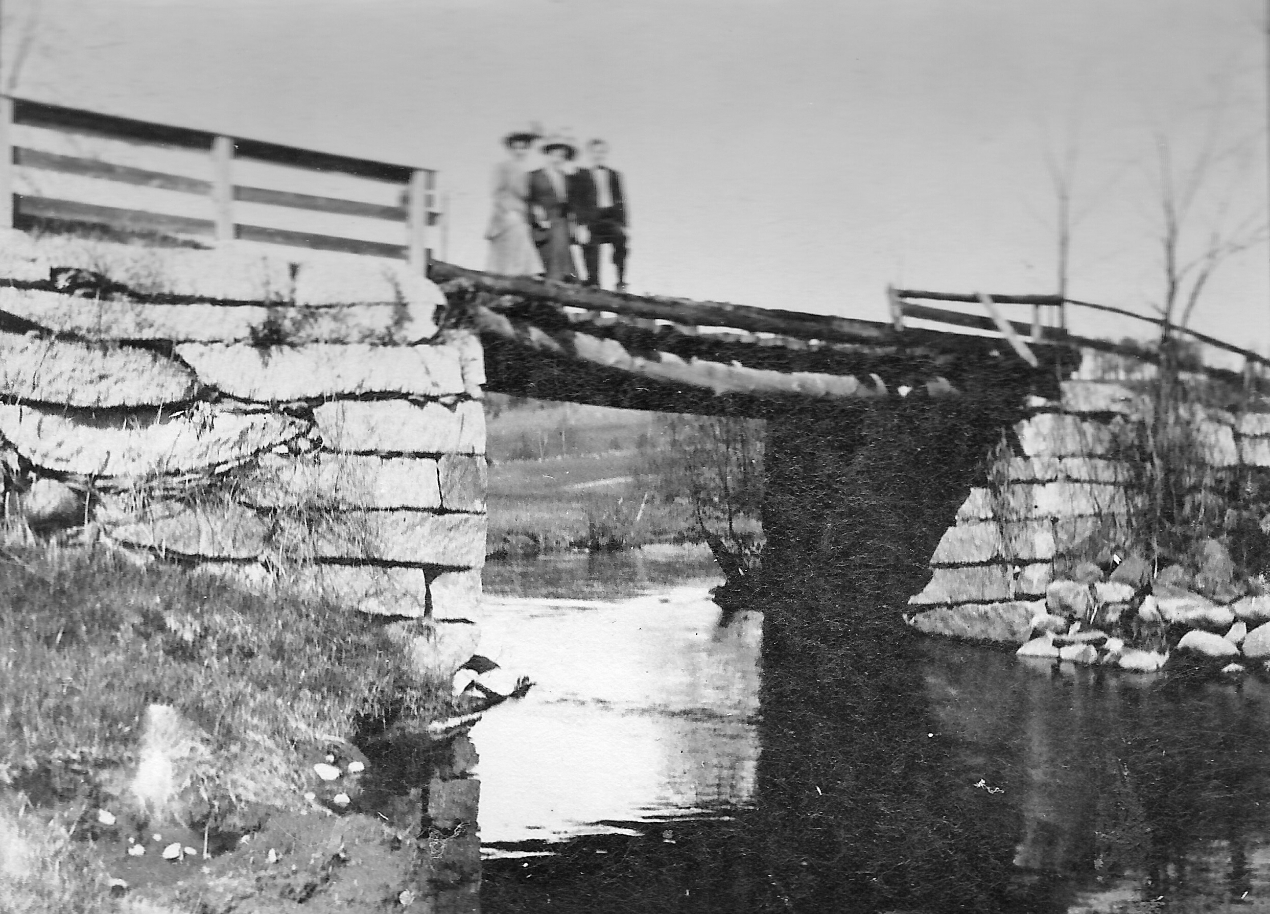
Meadow Brook granite trestle near Thompson’s Stop with Pittsfield Avenue in background – c1905
*
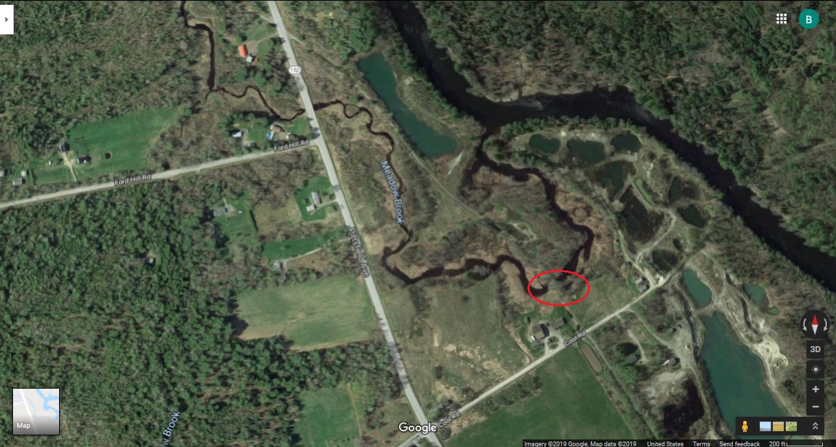
Former Railroad Line & Trestle Location on Meadow Brook – 2020 (Google Maps)
*
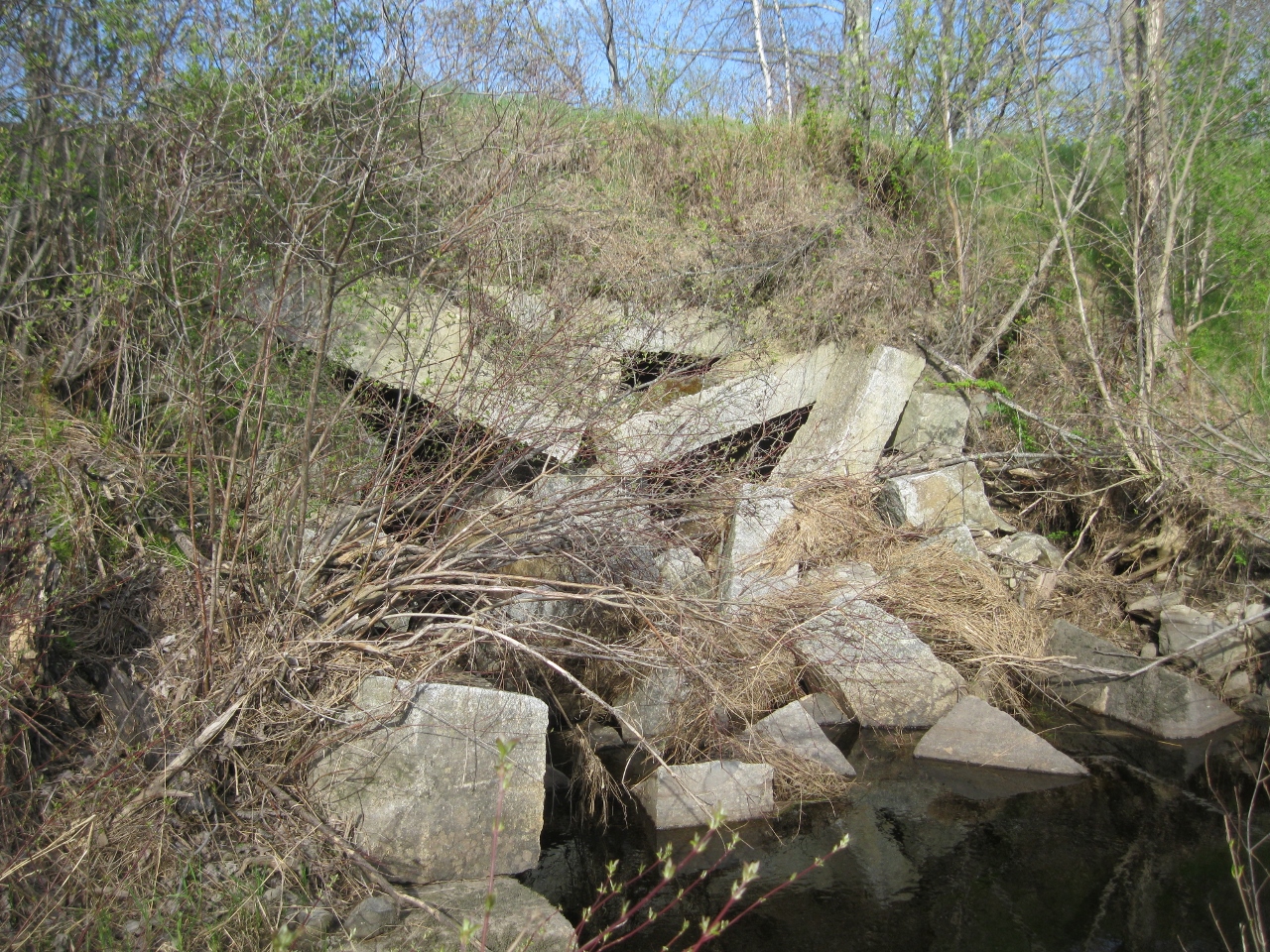
Remnants of the Meadow Brook Trestle from Pittsfield Avenue side – 2018
*
Hartland citizens first considered funding a new cemetery during the 1884 Town Meeting. The land, owned at the time by Davis & Thompson, was purchased by the town at a vote during the 1892 Town Meeting to be used as a public town cemetery lot. Pine Grove Cemetery is now the largest cemetery in Hartland and has had several additional land extensions made over the decades.
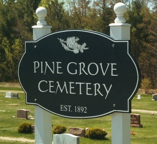
Pine Grove Cemetery – Established 1892
*
See Maps Page for an enlargeable version of the 1896 map below.
Pittsfield Avenue – 1896 Hartland Village Map
*
At the 1897 Town Meeting, the people of Hartland voted to accept an updated list of names for streets in the Village. Most of the streets retained their original names at the vote including, “From said Main Street at the point of J. S. Page’s (John S. Page) going south; Pittsfield Avenue”
*
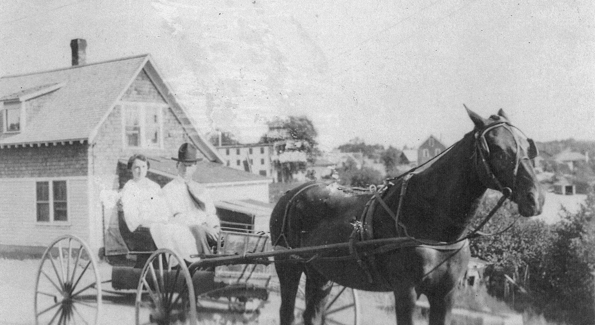
Thelma Ladd & Martin Lowell in front of their future home on Pittsfield Avenue – 1912
*
Edward E. Latty was one of the first to operate the service station on Pittsfield Avenue which had been part of the original John Page lot. The station would have numerous owners over the next several decades including Bert Lovely.
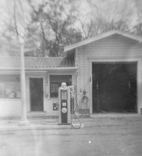
Pittsfield Avenue Tydol Service Station – 1943
*
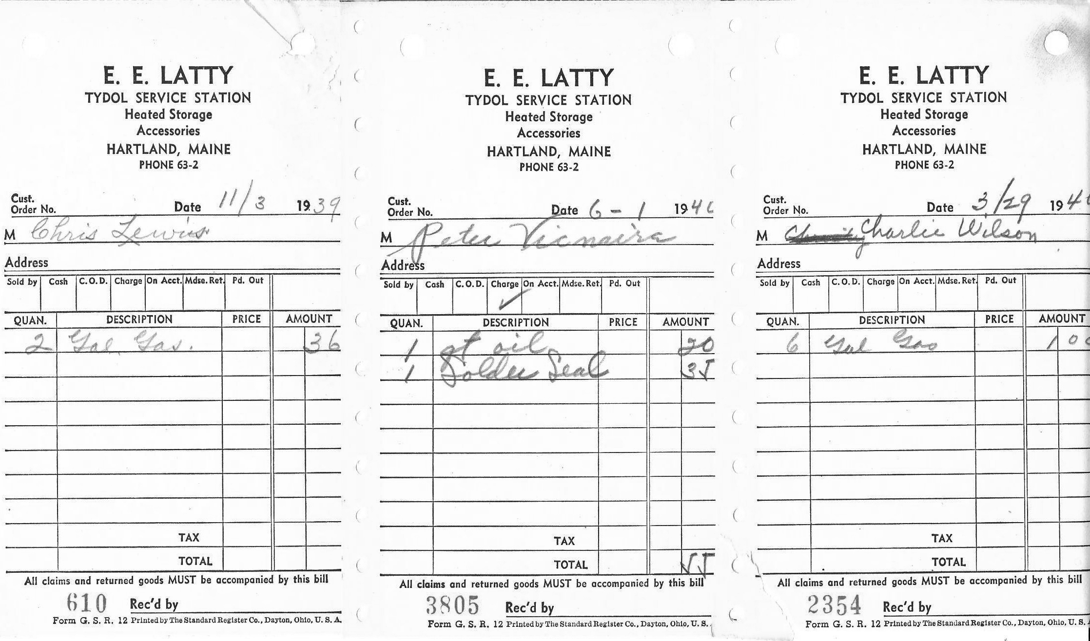
Tydol Service Station Receipts – 1939 & 1940
*
Property ownership on Pittsfield Avenue in 1943.
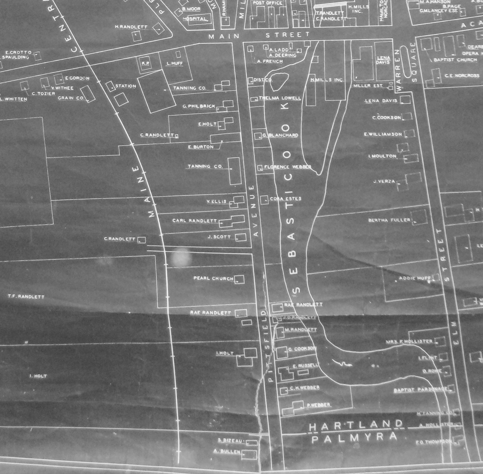
Hartland Village – 1943
*
Pittsfield Avenue Homestead of Carl Randlett and his wife Maude Annis where they raised their 3 children Beatrice, Thelma & Linwood.
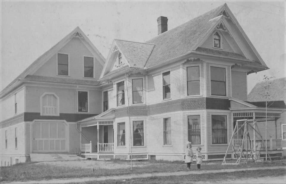
Carl Randlett Home – c1908 (Photo courtesy of Estelle Randlett Tapley)
Noted in photo are Beatrice Ellen Randlett (b.1901) & Thelma Mae Randlett (b.1904)
*
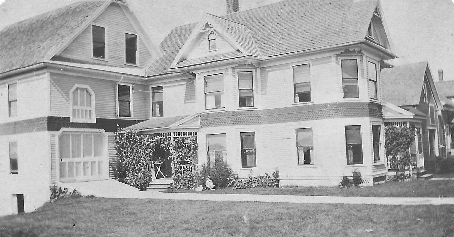
Carl Randlett Homestead – Pittsfield Avenue
*
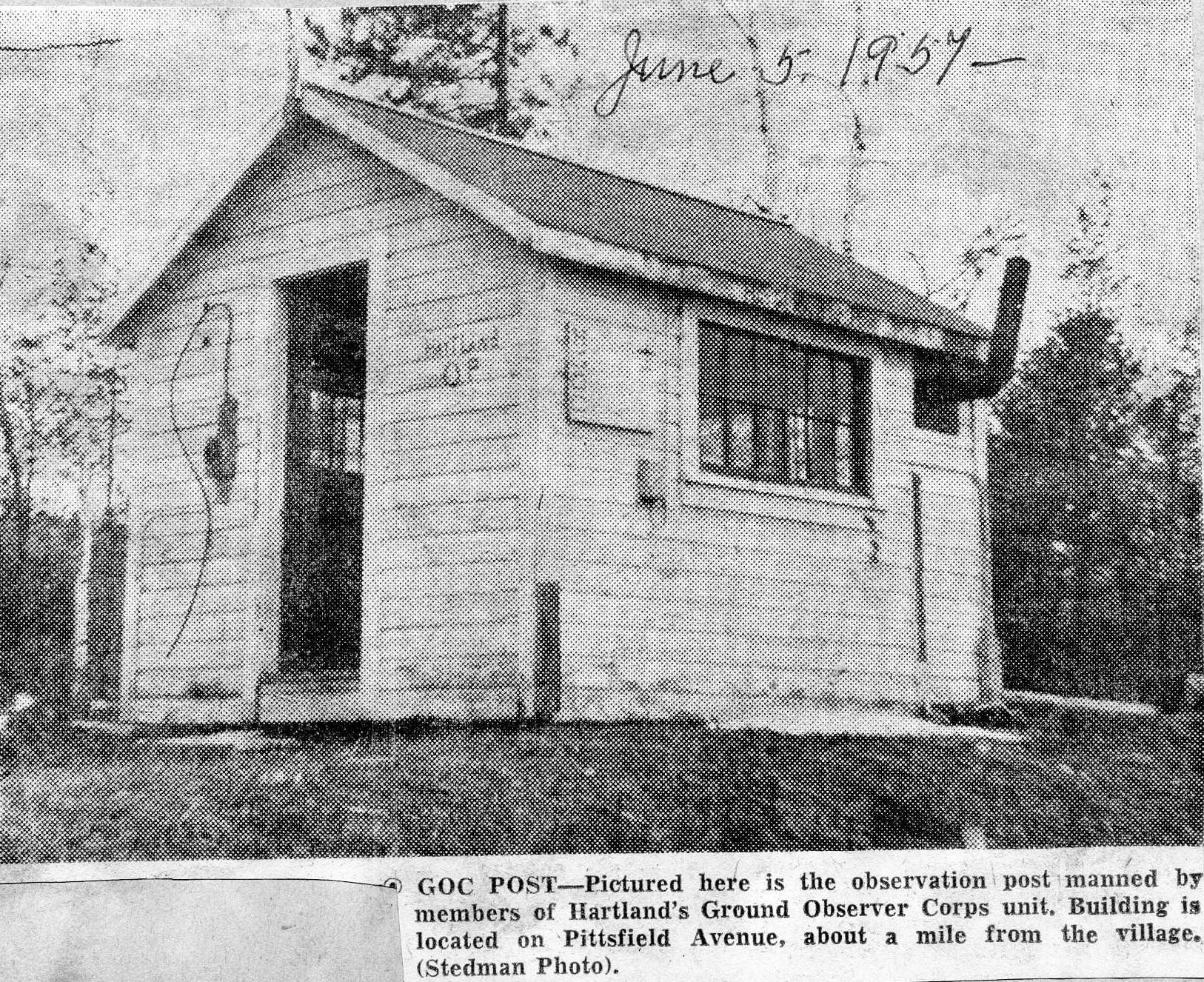
Ground Observer Corps Building – 1957
*
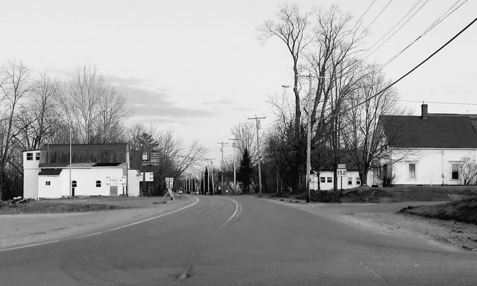
Pittsfield Avenue from Main Street – 2019 (Photo courtesy of Will Bunker Photography)